|
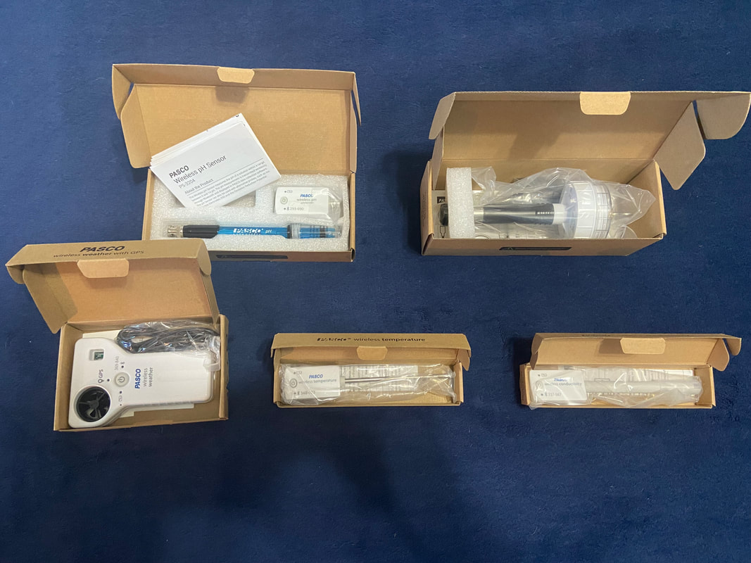
The main focus of my project is of course the sonar. However, I have also been given a sort of "side quest" by the Mallows Bay faculty to collect other related data around the site. This includes temperature, salinity, acidity, and dissolved oxygen. After a short video call discussing the details of my project to the people at PASCO Systems, they offered to supply me with all the required sensors free of charge! Thank you PASCO! These sensors connect wirelessly via Bluetooth to my computer and enable me to collect all my data from the comfort of my kayak. They can also be configured to continuously collect data without any input from me.
1 Comment
In order to obtain specifications for what kind of robot I need to build, I have visited Mallows Bay Ocean Sanctuary. This gave me much vital information such as depth, obstacles, and points of interest.
The Goal: Mapping the seafloor for the shipwrecks that are not able to be seen using sonar So here's the plan: The data needed is to find where the wrecks are and how deep. Ideally one sonar system would be able to do both, but the ones that can do both are hundreds of thousands of dollars. To get the detail aspect I will use side-scan sonar like what is used on fishing boats. This will give me outlines of things on the bottom. The depth data can be found either using a dedicated depth finder or by using the "nadir" of the side scan sonar data. With a functioning sonar system, the ASV (Autonomous Surface Vessel) aspect will be constructed. By using GPS data and the program "ArduPilot" (which I have never used it before so it is a wildcard), I can create a course for the ASV to follow and systematically map out the bottom. |
Archives
April 2023
Categories |

 RSS Feed
